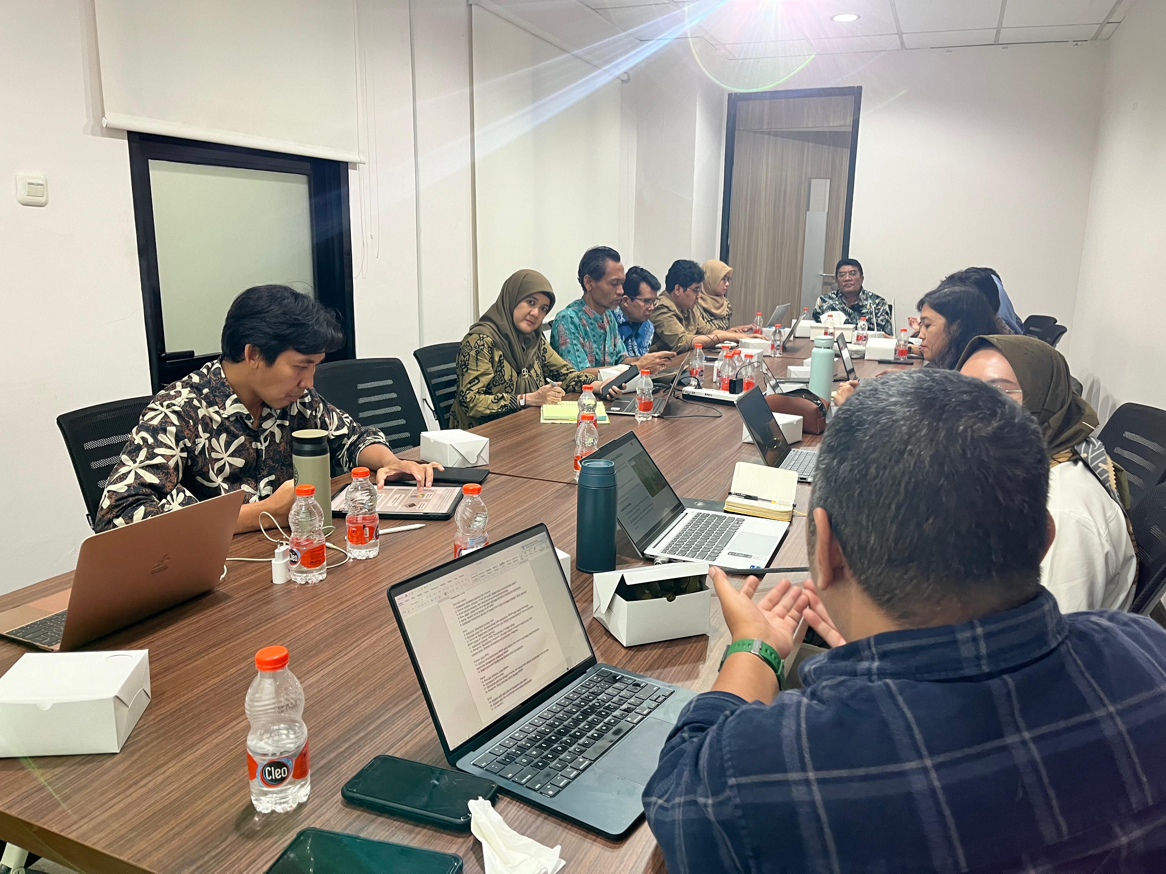
MapBiomas Indonesia conveyed that the land cover dynamics shown in Collection 3.0 will strengthen data and maps of land cover classes relevant to the Peatland and Mangrove Restoration Agency (BRGM).
MapBiomas Indonesia will apply knowledge secured through this training to develop MapBiomas Indonesia | FIRE, which is planned for release in the third or fourth quarter of 2024
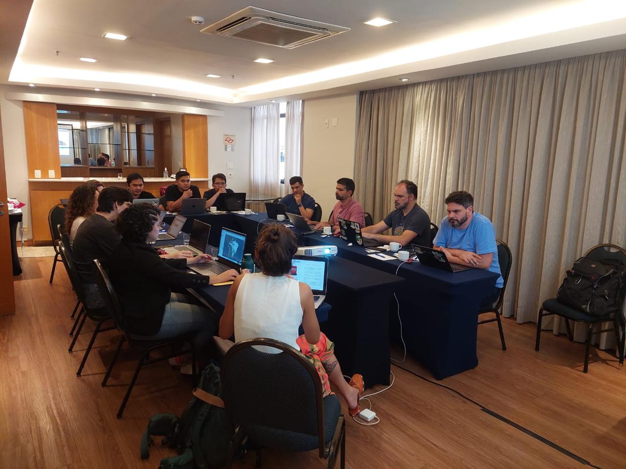
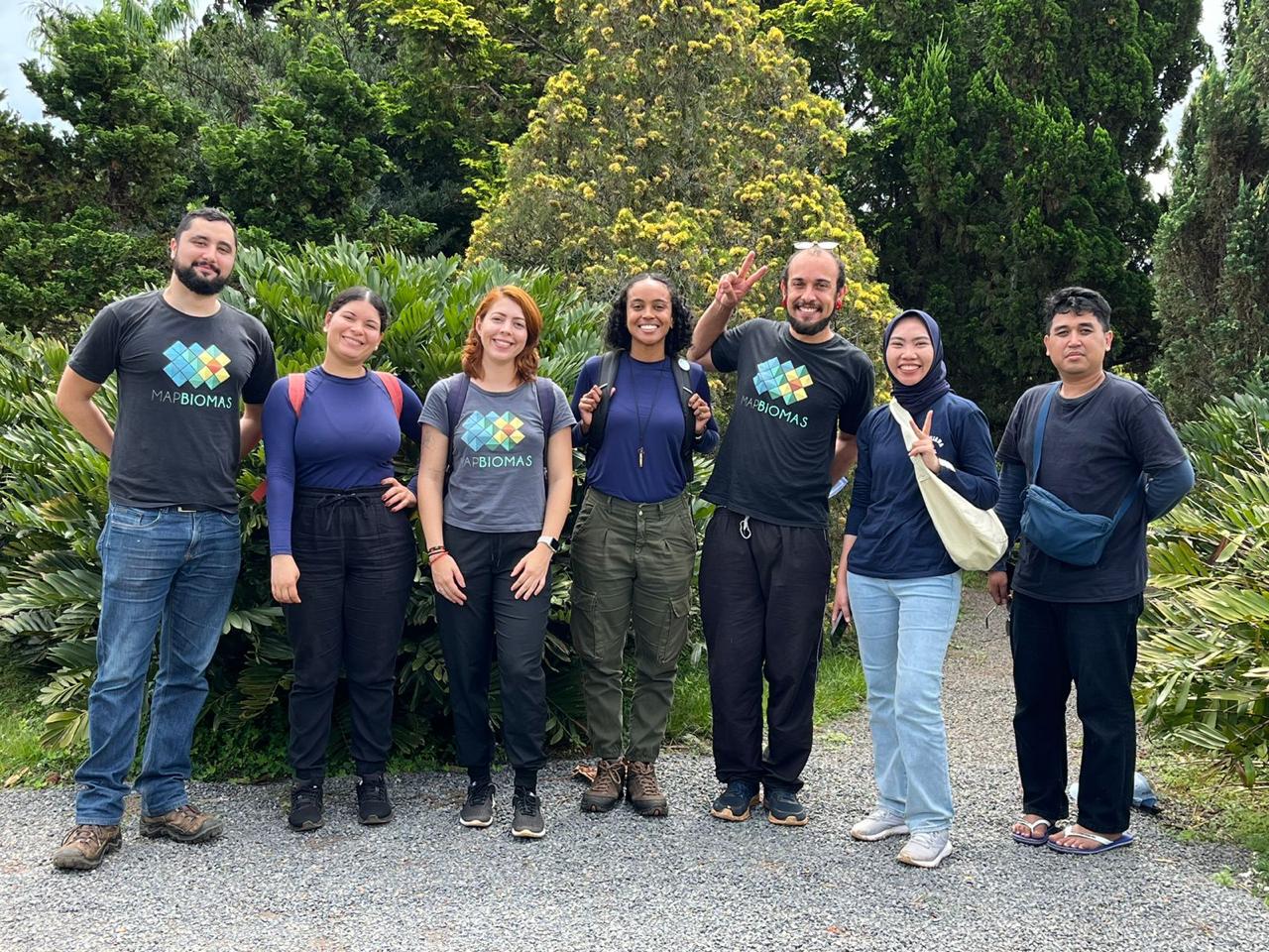
The São Paulo, Brazil, trip was designed to learn MapBiomas Alerta, a deforestation monitoring platform in Brazil, as an effort to develop a similar platform in Indonesia.
Displaying land cover dynamics in Indonesia, this platform provides land cover maps, statistics and transitions, as well as overlays with land uses and concessions.
FIRE presents data and maps of burned areas in Indonesia by optimizing the Google Earth Engine and a deep learning approach to publicly available satellite imagery.
Every deforestation alert is verified, then validated through the latest high-resolution satellite imagery, to present authentic deforestation data and maps.