
History
Originating from the Portuguese words “mapa” and “biomas” – “mapa” meaning map, and “biomas” meaning biomes – “MapBiomas” constitutes maps of different biomes or large-scale ecosystems.
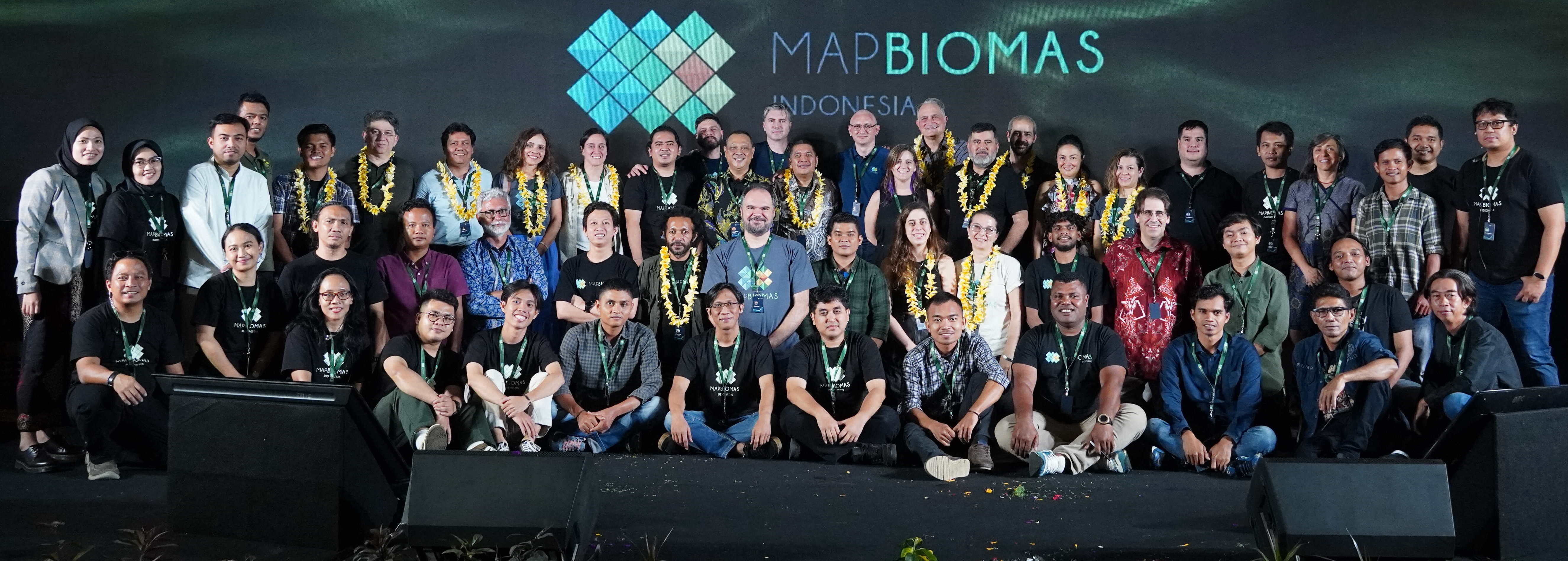
MapBiomas was first developed by a civil society network in Brazil in 2015, and later spread to other countries. In 2017, Auriga Nusantara initiated the application of this mapping technology and knowledge in Indonesia in collaboration with a number of civil society organizations, in a network now called MapBiomas Indonesia.
MapBiomas Indonesia released Collection 1.0 showing land cover dynamics in Indonesia from 2000–2019 on 10 November 2021. Collection 2.0, which contains year-on-year changes for 11 land cover classes in Indonesia over the 2000–2022 period, was released on 23 October 2023. FIRE 1.0, showing annual fire data for Indonesia from 2013–2023, was released on 7 August 2024.
Network
MapBiomas Indonesia is an Indonesian civil society network formed in an effort to encourage land cover transparency for the benefit of Indonesia’s people and natural environment. With its consideration for geographical representation making it a national initiative, the MapBiomas Indonesia network is made up of civil society organizations from Aceh to Papua.
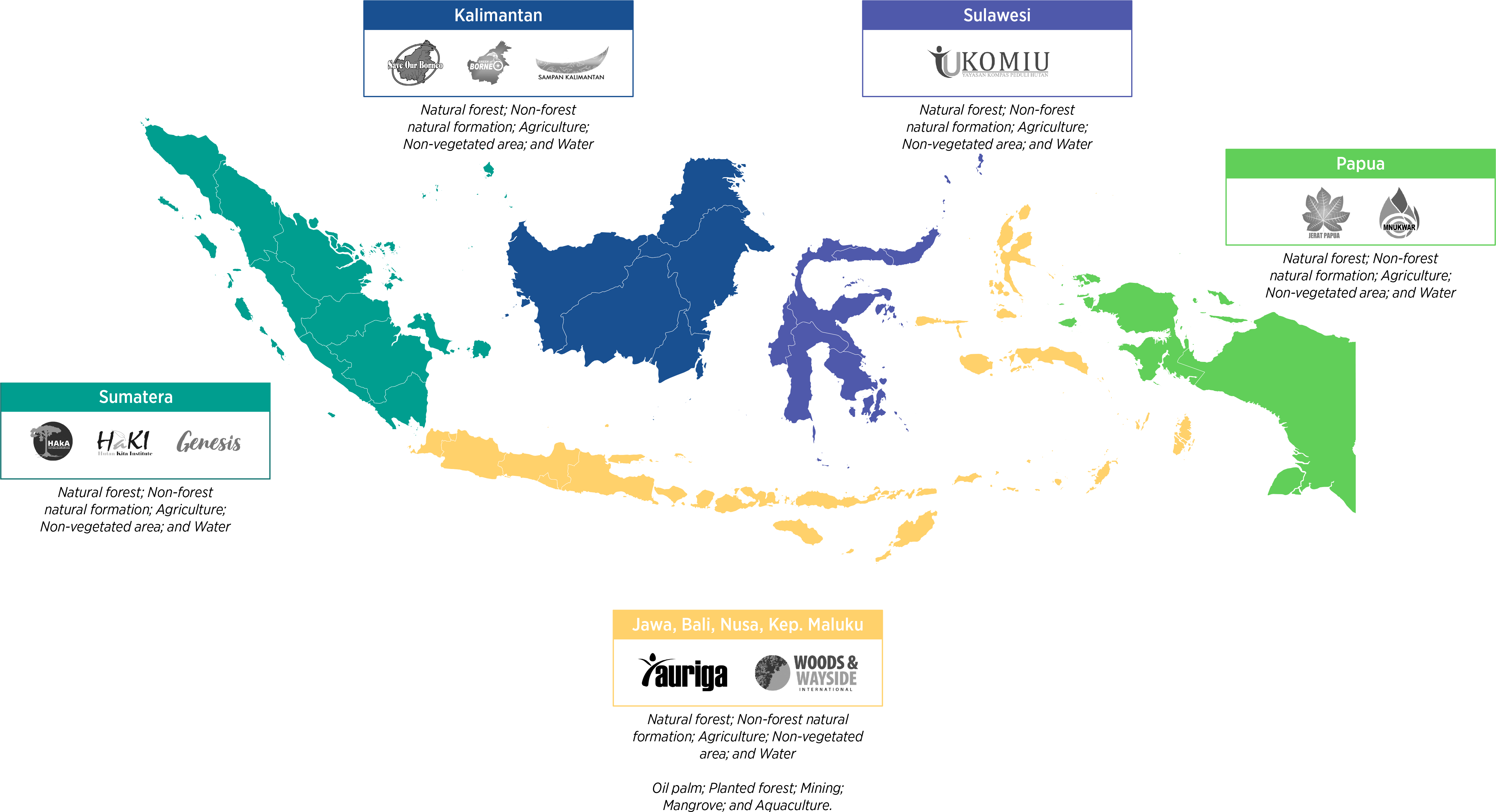
The MapBiomas Indonesia network comprises HAKA Aceh, HAKI South Sumatra, and GENESIS Bengkulu from the Sumatra region; SAMPAN West Kalimantan, Save Our Borneo (SOB) Central Kalimantan, and Green of Borneo (GOB) North Kalimantan from the Kalimantan region; KOMIU Central Sulawesi from the Sulawesi region; MNUKWAR Papua and JERAT Papua from the Papua region; and Auriga Nusantara and Woods & Wayside International for the Java, Bali, Nusa Tenggara and Moluccas region. The network’s distribution is as follows:

In line with developments and needs, the MapBiomas Indonesia network is completely open to future expansion. The network has been developing collaboration with institutions of higher learning since the release of Collection 1, with 10 universities involved in testing the accuracy of Collection 2. It is within this framework that MapBiomas Indonesia is fostering intensive communications with various national universities and civil society groups.
Agenda Overview
MapBiomas Indonesia plans to update Indonesia data and land cover maps year on year and develop thematic products like FIRE and ALERTA relevant to situations and conditions in Indonesia.
In addition, MapBiomas Indonesia also plans to initiate further MapBiomas development to cover the entire Southeast Asia region.
Contact
To communicate with MapBiomas Indonesia, please email us at contact@mapbiomas.id.